There has recently been a report of the collision from last month from the ground-based radar that came out on Tuesday, they’re advocating an Army helicopter that was elevating more when it was flying than it was supposed to be when it struck American Airlines Flight 5342 from 2 weeks ago.
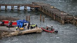
They found the bodies of the 67 victims inside the aircraft. They were recovered from inside the plane and around the Potomac River in Washington D.C. where
the jet smashed against the helicopter, on the authority of “the best quality flight track data” or the B.Q.F.T.D for short it was confirmed that the helicopter was flying at about 300 feet at the time of the midair collision; therefore the plane on its flight to Ronald Reagan Washington Airport. The National Airport Safely Board made a statement on Tuesday evening. “This data is rounded to the nearest 100 feet.” the agency said.
The Black Hawk was based at Fort Belvoir, Virginia, it was on a flying training mission that committed to a helicopter route where it’s forbidden to fly up to 200 feet high. Whenever somebody flies their aircraft up to 200 feet high, then that’s when it reaches a point called
‘Coffin Corner’. This is a point at which the aircraft’s low-speed enclosure and high-speed buffet meet; therefore, the plane can no longer sustain its altitude, which forces it to nosedive.
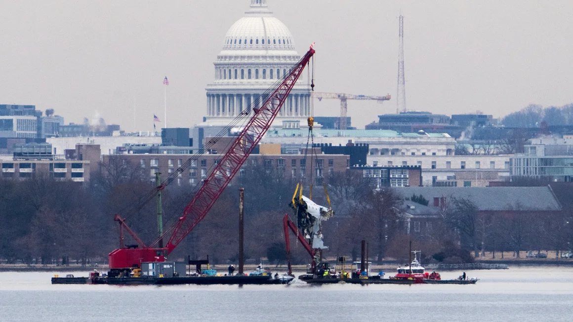
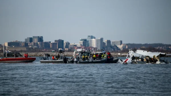
Every major piece has been achieved and accounted for, and they were doing an overnight scan of the river where the aircraft fell by using advanced imaging technology to locate the riverbed and debris from the collision. This scan was done by the National Oceanic and Atmospheric Administration linking 2 A.M. & 5 A.M. Last week on Saturday they were using an aircraft to distribute green laser pulses, the technology is called TopoBathy lidar; it is designed to produce detailed underwater imagery and manage recovery teams.
They used a survey that identified multiple underwater targets that could be additional aircraft debris, according to the NTSB there was a release on Saturday; divers are investigating those targets right now, and they will continue their work for this week.